The intent of these clips is to demonstrate how Geography teachers can enact the inquiry approach in field based Geographical Investigations.
Sparking curiosity
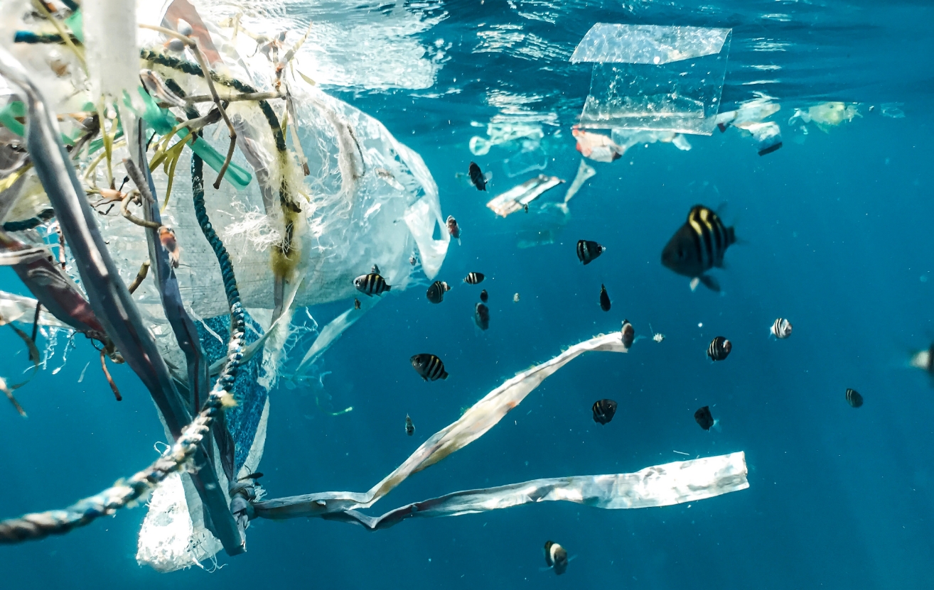
In this video, the teacher introduces students to the importance of fieldwork and proceeds to establish the focus of the geographical investigation ‘How clean is our water?’ (0:01-1:40). He shows four labelled containers with water from undisclosed sources and invites students to speculate which water is drinkable. This stimulus creates an interest in the focus of the inquiry. Students make sensory observations (sight, smell, touch) of the water (2:36-3:56) before the teacher leads the discussion with a set of spiral questions that frame the inquiry. Questions are asked in a progressive manner. The teacher starts with questions requiring observation and interpretation of the water in each container (3:57-11:13) and follows up with questions on prediction that require students to synthesize data to determine which water is drinkable (11:15-17:52). Along the way, the teacher checks for students’ understanding by providing formative feedback to students’ responses (9:24-11:00), and he probes students’ assumptions by getting them to consider whether it is sufficient to rely on their sensory observations to determine the quality of water. The lesson ends with students considering the need to collect data in order to determine water quality (18:23).
Corresponding powerpoint slide deck available for download:
First lesson presentation PPT
Gathering data
In this video, the teacher guides students through the data-gathering phase of the inquiry at Jurong Eco-garden. A tune-in activity of making sensory observations is used to induct students to the field-site (0:11-2:09). Students move on to make annotated sketches of the field-site that will serve as key resources in exercising reasoning in geographical investigations (2:12-3:46). A teacher collects water sample at a site (3:24-3:46) and students proceed to conduct water testing using the different test kits, including the PUB and the CHEMet water test kits (3:47-5:04). The teacher then leads a whole-class reflection in the field with a set of spiral questions: progressing from questions of observation (5:20), to questions of interpretation and prediction (7:13) that require students to synthesize information regarding the data accuracy and reliability of these test kits as well as the different purposes (10:00-10:43) for using different water quality test kits.
Making sense of the data
In this video, the teacher elicits what students already know about the focus of the inquiry and gets students to use selected information to speculate about a water quality parameter either before or after the cleansing biotope at the Jurong Eco-garden (0:07-3:05). After the speculation activity, the teacher provides the full set of data at these two sites and provides a 3-step approach to analyse the data (3:07-4:05). Students are then guided by the teacher through an interactive discussion on making sense of the multimodal data (including graphs, maps and annotated sketches) on their assigned water quality parameter on temperature (4:22-6:48), pH (6:49-9:29), dissolved oxygen (9:32-12:40) and turbidity (12:44-14:09). The point data collected by the students is contrasted with the YSI time-series data and students are guided to reach a deeper understanding of the situatedness of their contextual data in the Geographical Investigation.
 SLL@nie.edu.sg
 NIE3-2-26, 1 Nanyang Walk,
Singapore 637616
NIE3-2-26, 1 Nanyang Walk,
Singapore 637616