
For reference please look at https://sll.hsse.nie.edu.sg/Home/Portal
The Geographic Information Systems (GIS) lab has 25 work stations to facilitate teaching, learning, and research related to cartography, GIS, and remote sensing. Each work station is installed with mapping software (e.g. ArcGIS, ERDAS IMAGINE) for students or staff to process, analyse, and visualise geospatial data (in the form of e.g. land cover/use, flood/drought hazard/risk maps) […]

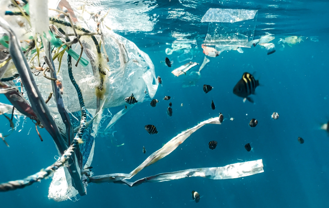
Adva is an educational application designed to raise environmental consciousness and to incite individual action for transformative social change. It serves primarily as a calculator of the user’s carbon footprint based on their lifestyle choices. It also incentivises environmentally sustainable tasks/practices by awarding the user with discounts or cash back on sustainably sourced/produced items, as […]
The intent of these clips is to demonstrate how Geography teachers can enact the inquiry approach in field based Geographical Investigations. Sparking curiosity In this video, the teacher introduces students to the importance of fieldwork and proceeds to establish the focus of the geographical investigation ‘How clean is our water?’ (0:01-1:40). He shows four labelled […]
Rain garden at NIE Rain gardens in schools
Sampling techniques and design Examining/testing water quality – Dissolved oxygen in water – pH in water – E.coli in water – Nutrients in water – Suspended solids and turbidity Handbook of Water Quality for the Singapore Secondary 1 Geography Curriculum
 SLL@nie.edu.sg
 NIE3-2-26, 1 Nanyang Walk,
Singapore 637616
NIE3-2-26, 1 Nanyang Walk,
Singapore 637616